Civil 3D (Irrigation Engineers)
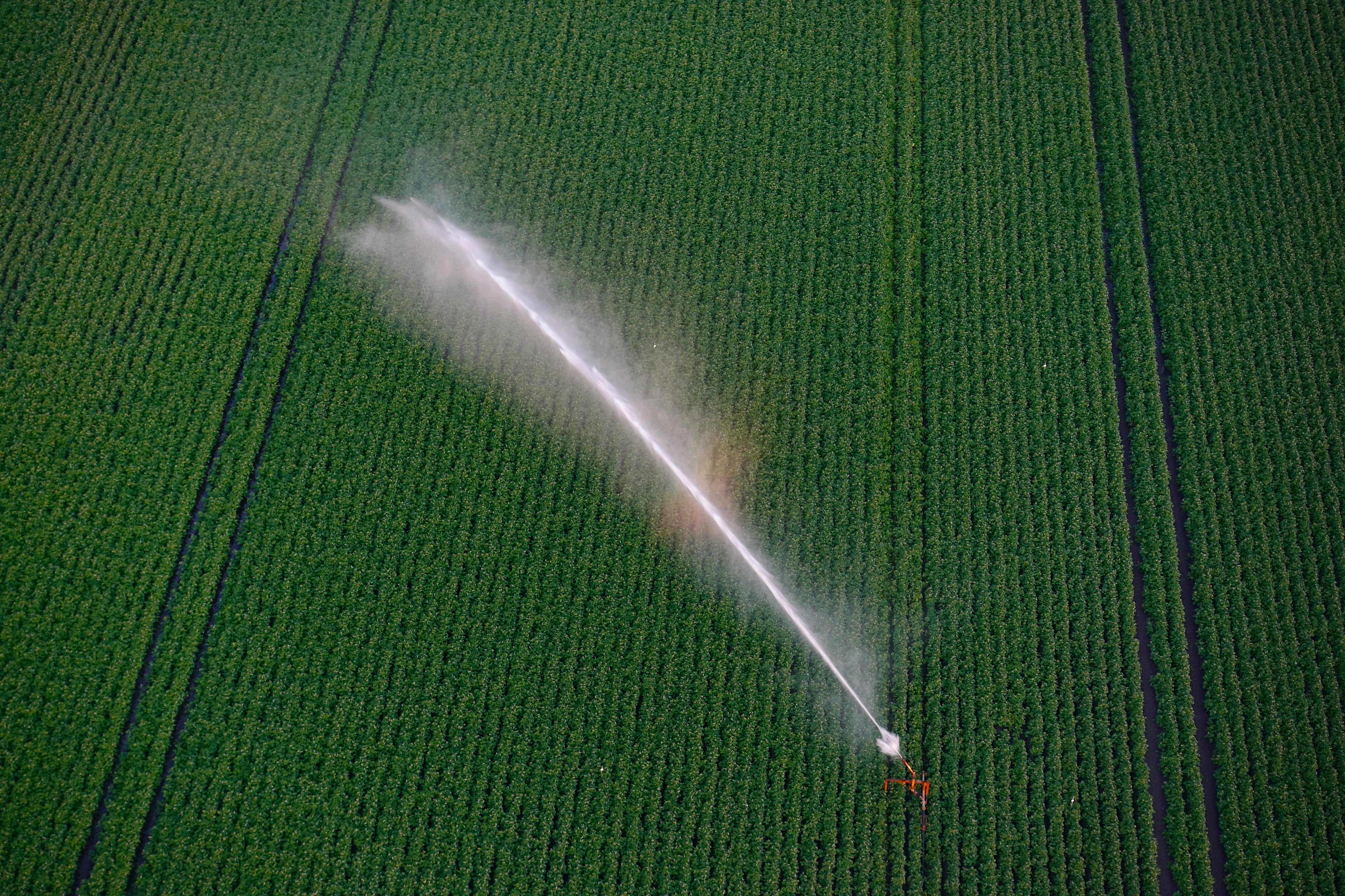
Design efficient and sustainable water systems with Autodesk Civil 3D the smart solution for irrigation engineers. Whether you're planning canals, pipelines, pump stations, or drainage systems, Civil 3D equips you with advanced tools for terrain modeling, hydraulic analysis, and precise alignment design. Visualize water flow, optimize slopes, and generate accurate earthwork calculations all within a single, dynamic model. With seamless integration of survey data, GIS, and BIM, Civil 3D helps irrigation engineers improve accuracy, reduce rework, and deliver cost-effective, climate-resilient irrigation infrastructure. Bring your irrigation projects to life smarter, faster, and greener with Civil 3D.